- Active & Green
- Mountains
Hiking with CAI and Fondazione Varese Welcome
Hikes among lakes, villages and mountains: the 2026 calendar of outings with CAI and Fondazione Varese Welcome
From May to November, the Varese area tells its story step by step: panoramic trails, historic villages, ancient mountain pastures, traces of the Cadorna Line, and views over Lake Maggiore, Lake Lugano and the Pre-Alps.
The hiking calendar, developed in collaboration with Fondazione Varese Welcome, offers a variety of routes in terms of length, difficulty and landscapes: from the sweeping views of Monte Lema to the villages of Val Veddasca, from the trails of Campo dei Fiori to the walks between Sesto Calende, Taino and Lisanza.
The programme for each guided hike will be published on the CAI Varese website: www.caivarese.it.
Open to everyone, both CAI members and non-members, the hikes are made possible thanks to the contribution of Fondazione Varese Welcome. Participation is free of charge. Places are limited.
Registration by e-mail: escursionismo@caivarese.it
Download trails calendar:
Locandina escursioni CAI - Fondazione Varese Welcome (PDF 139 KB)
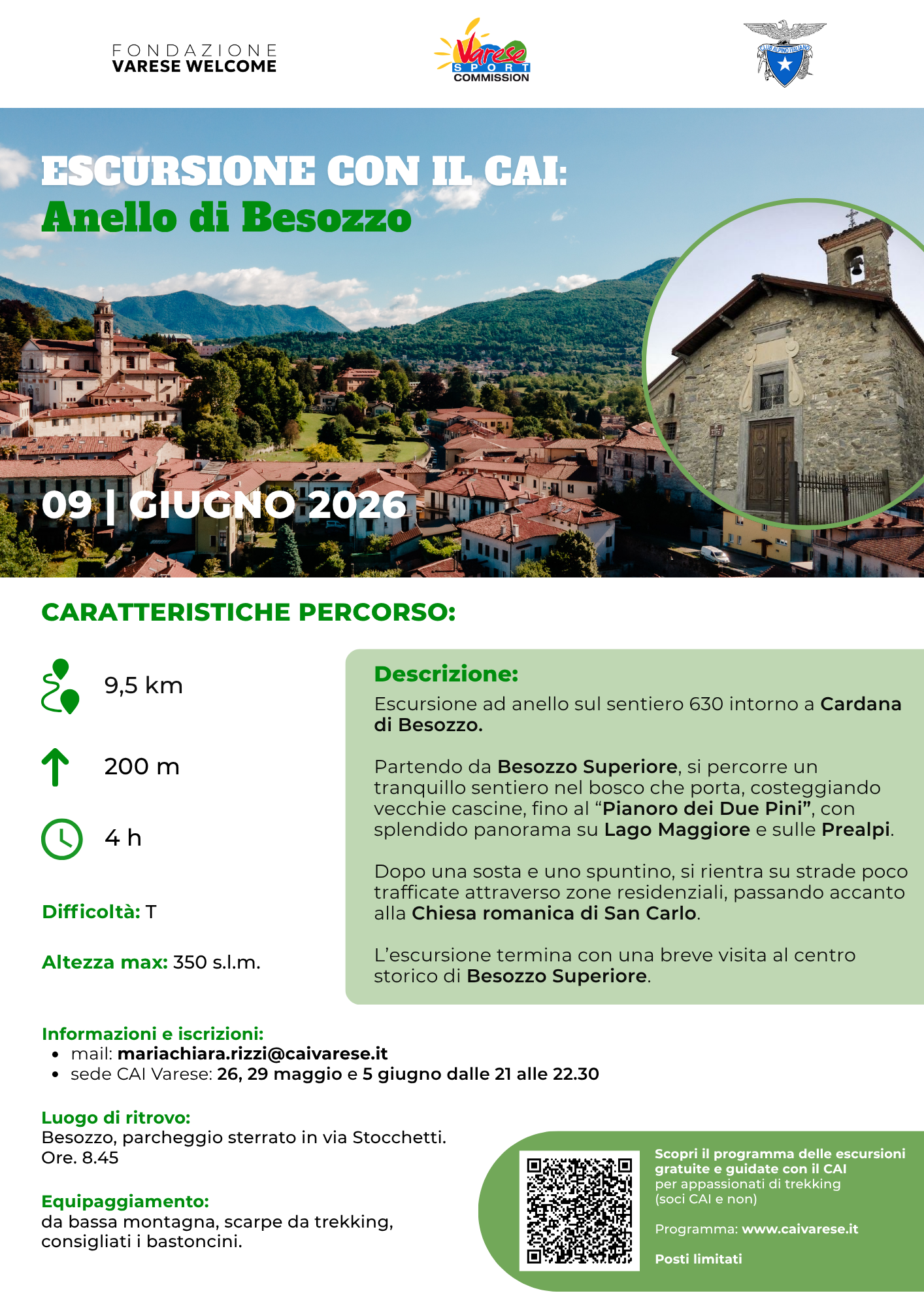
Tuesday 9 June
Besozzo - Cardana
A gentler yet charming itinerary leads to the discovery of Besozzo Superiore and the hamlet of Cardana. From the village, the route enters the woods and follows trail 630 until it reaches the large plateau known as “dei due pini”, a panoramic viewpoint overlooking Lake Maggiore and the Pre-Alps.
The return route is largely on quiet paved roads, passing through residential areas and peaceful corners of the territory. At the end of the hike, it is possible to stop in Besozzo Superiore to visit the historic centre and its palaces.
Technical details: loop route of 9.5 km, approximately 4 hours of walking, maximum altitude 350 m, elevation gain/loss 150 m.
Tuesday 23 June
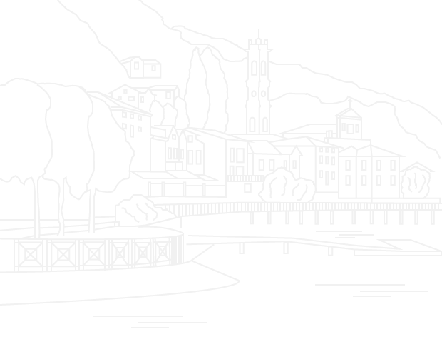
Sesto Calende - Taino - Lisanza
Among hills, contemporary art and Lake Maggiore, this loop route starts from Sesto Calende and reaches Taino along trails and dirt roads. From there, it descends towards Lisanza and its small lakeside promenade, before climbing back up to Cocquo and returning to the starting point.
The itinerary crosses several places of interest: the Parco dei Quattro Punti Cardinali in Taino, a panoramic balcony over Lake Maggiore enriched by sculptures by Giò Pomodoro, the former powder magazine, the lakeside area of Lisanza, Preja Buia and the Oratory of San Vincenzo in Sesto Calende.
Technical details: loop route of 13 km, approximately 5 hours of walking, maximum altitude 330 m, elevation gain/loss 200 m.
Saturday 12 September
Saltrio - Monte Pravello
After the summer break, the calendar resumes with an intense and highly evocative itinerary between Saltrio, Monte Croce and Monte Pravello. Before the Saltrio quarry, the Nature Trail begins on the left, leading to Big Bench no. 208 and to Cava Brusata.
From here, a staircase climbs towards Monte Croce, before continuing to the Monte Pravello Refuge and the summit, at an altitude of 1,015 metres. The return route follows the upper section of the Cadorna Line and passes through the Monte Orsa tunnel, for which bringing a torch or flashlight is recommended.
Along the way, hikers will encounter places of remembrance, including a site dedicated to Liliana Segre and her father’s attempted escape to Switzerland. The itinerary also offers beautiful views over the plain, Lake Lugano and the surrounding mountains, with the possibility of visiting MAMO, the Monte Orsa Open-Air Museum.
Technical details: loop route of 9.5 km, approximately 4 hours and 30 minutes excluding stops, maximum altitude 1,015 m, elevation gain/loss 500 m.
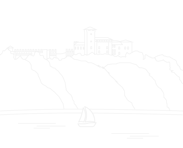
Sunday 20 September
Monte Lema
The calendar opens with a major loop hike on Monte Lema, one of the most panoramic routes in the Varese Pre-Alps. The route starts from Curiglia, near the statue of San Carlo, crossing the village before climbing through historic alpine pastures, woods and meadows.
The trail reaches Piano del Poncione, Forcola di Arasio and finally the summit of Monte Lema, where a spectacular 360-degree view opens up: the Pre-Alps, the lakes, the Alps and the plain can all be admired in their full breadth.
The descent returns to the Italian side, passing through Alpe Pian di Runo and Rifugio Campiglio, an ideal place for a restorative stop, before continuing towards Alpe Chedo and the Roccolo agritourism farm.
Technical details: loop route of 16.6 km, approximately 7 hours of walking excluding stops, maximum altitude 1,620 m, elevation gain/loss 1,166 m.
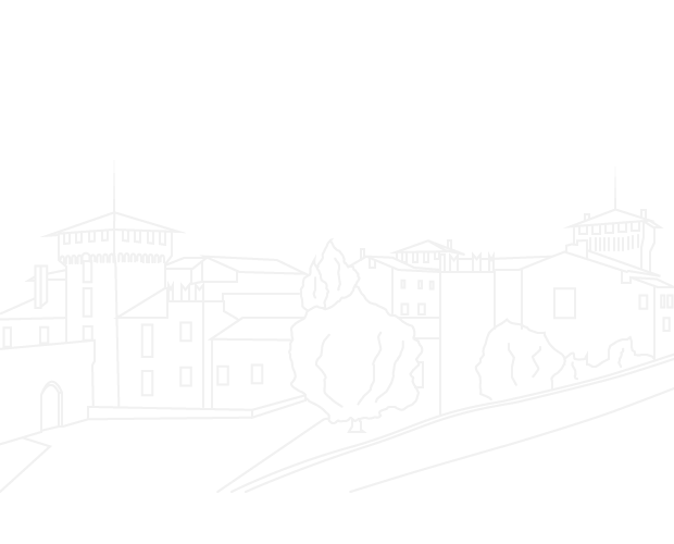
Tuesday 29 September
Ganna - Brinzio
This traverse links two symbolic places in the area: Ganna and Brinzio. From the village of Ganna, the route follows trail 15 in the Campo dei Fiori Park, climbing to a panoramic viewpoint over the peat bog and Pralugano.
The trail continues towards Valicci, before descending along trail 18 towards Brinzio. The hike can be enriched with a visit to the Badia di Ganna, the chestnut woodland of Brinzio and the ethnographic museum.
An added bonus: the route can also be reached by public transport, using the Varese-Ganna and Brinzio-Varese bus lines.
Technical details: traverse of 6 km, approximately 3 hours excluding visits, maximum altitude 500 m, elevation gain/loss 250 m.
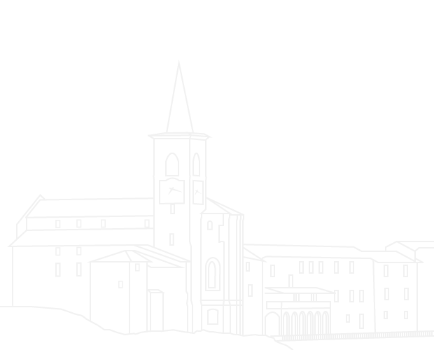
Tuesday 13 October
Forte di Orino
From Orino, surrounded by the greenery of Valcuvia, this hike combines nature, military history and sweeping views. Following a cobbled road, the route reaches the hamlet of Ronco, then climbs towards Pian delle Noci, at 713 metres, with its fir wood and equipped rest area.
The climb continues through woodland and steeper sections to the locality known as Quattro Strade, before reaching Forte di Orino, a fortified military site belonging to the Cadorna Line. From here, the view stretches across the Pre-Alps, the Piedmontese and Central Alps, Lake Maggiore, the Po Valley and the Varese lakes.
The return route passes by the Rocca di Orino, an ancient fortification standing on a rocky spur, before returning to the village. In Orino, visitors can also see the medieval Church of San Lorenzo and the parish church dating back to 1685.
Technical details: partial loop route of 7.5 km, approximately 3 hours and 30 minutes excluding stops, maximum altitude 1,120 m, elevation gain/loss 680 m.
Sunday 8 November
Curiglia - Monteviasco
Monteviasco is one of the most fascinating and distinctive villages in the province of Varese. A hamlet of Curiglia, in Val Veddasca, it preserves a centuries-old history made of stone houses, narrow lanes, a church, a wash house and mountain silence.
The village can only be reached on foot, climbing the famous stone staircase of around 1,400 steps, which starts near the cable car car park and rises through chestnut woods. A real effort, admittedly, but the kind one later recounts with satisfaction.
The visit to the ancient village will be made even more special by the Feast of San Martino. After visiting the village, the hike may continue with a short loop towards the now-abandoned Alpe Sassello and Alpe Cascinelle. On the way back, a detour is also planned to visit the ancient Mills of Piero.
Technical details: loop route of 6 km, approximately 4 hours excluding stops, maximum altitude 1,149 m, elevation gain/loss 610 m.
Sunday 29 November
Monte Martica
The final outing in the calendar leads to Monte Martica, within the Campo dei Fiori Regional Park. The route starts from Bedero Valcuvia, a panoramic village set on a hill overlooking the valley, and reaches Val di Lorino.
Along dirt roads, paved stretches and coppice woods, the route climbs the southern slopes of Monte Martica, crossing varied and evocative natural environments. The trail passes by the Valicci alpine pasture, along the Via Francisca del Lucomagno, and through Brinzio, a village well worth a visit.
After crossing beech and downy oak woods, the route reaches Magolcio. From here, the trail climbs steeply for a short stretch to the eastern summit of Monte Martica, where there is a fortified area belonging to the Cadorna Line. The return follows the same route used for the ascent.
In Bedero Valcuvia, the parish church and the Town Hall Tower, both medieval buildings, are also worth seeing.
Technical details: partial loop route of 11.5 km, approximately 4 hours and 30 minutes excluding stops, maximum altitude 1,020 m, elevation gain/loss 670 m.
Recommended and mandatory equipment
Suitable clothing for low-altitude mountain hiking is required for all hikes. Hiking boots or trekking shoes are mandatory: trainers are not suitable.
Walking poles are also recommended. Participants must bring water or hydration drinks, a water bottle and a small snack, depending also on whether refreshment points are available along the route.
A calendar designed to discover the province of Varese at a slower pace, with open eyes and good shoes: from lake views to mountain villages, from ancient alpine pastures to the Cadorna Line, each hike becomes a different way to read the territory. And, hopefully, to return home a little more tired but much happier.
Attachments
Locandina con Calendario Escursioni9 Giugno 2026 - Anello di Besozzo - Dettagli
14 luglio 2026 - Anello di Sesto Calende - Dettagli