- Itinerari
- Cycle Tourism
- Active & Green
Castles, vineyards and lakes across the moraine hills

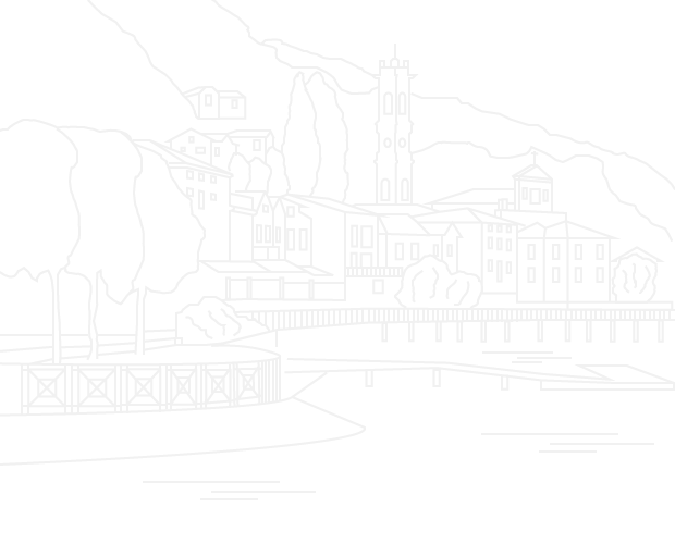
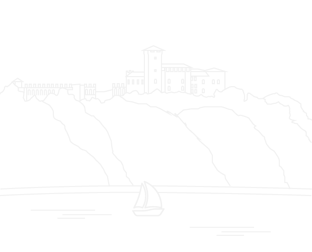
From the meeting point between the River Ticino at Sesto Calende and Lake Maggiore the route climbs past the most famous glacial erratic in Varese province and across the moraine hills to one of the most attractive views of Angera fortress with the Monte Rosa massif in the distance. It then continues through hamlets to Parco Golfo della Quassa and Sasso Cavallaccio directly to Lake Maggiore. Flanking the lake it then climbs to the peak of Monte S. Quirico with its fantastic views of the lake, fortress and Alps.
It then returns to its starting point on a convenient cycle track through vineyards and oases.
Point of interest:
- Sass di Preja Buia
- belvedere di Taino
- lavatoi di Capronno
- Lago Maggiore
- Parco Golfo della Quassa
- Sasso Cavallaccio
- Monte S.Quirico con la sua chiesetta
- Rocca di Angera, Oasi della Bruschera
BIKE: E-Bike MTB
Mostra cosa c'è nelle vicinanze: